
Water management
Water Management: An enquiry-based learning scheme to explore the management issues associated with a chalk stream
River Chess
The River Chess is a chalk stream within the Chilterns National Landscape, The river is fed by the chalk aquifer (water stored in the chalk rock which rises in springs). The Chilterns chalk aquifer also supplies local people with drinking water and provides 20% of London’s drinking water supply. The quality of the water is influenced by a number of factors – with urban and road run-off, agricultural run-off and discharges of untreated sewage all having an impact. With a growing population and an increasing risk of drought due to climate change, water resources in the Chess catchment are increasingly under stress.
Using an enquiry learning format for studying The River Chess:
 This resource is aimed at post 16 students and designed to engage students in an investigation of real-world issues. It follows an Enquiry-based learning (EBL) approach (further details in teachers resources)
The nature of enquiry learning is that your class enquiry will be specific to your class. We have produced a module plan called ‘Teaching the River Chess’ to help you decide which aspects of the River Chess you might want to focus on with your students. The plan is divided into five different themes:
- Hydrology in chalk catchments
- River Health
- Human interactions in the drainage basin
- Managing water demand
- Creating sustainable water futures
This resource has been produced by staff at the School of Geography at Queen Mary University of London as part of the ChessWatch project. The ChessWatch project is a partnership between School of Geography, Queen Mary University of London, River Chess Association (RCA), Chilterns Chalk Streams Project (CCSP) and Thames Water.
Teachers Notes
Using an enquiry-based learning format:
Enquiry-based learning (EBL) is an umbrella term to cover a range of approaches in which students are actively engaged in investigating questions and issues. EBL can vary from investigations which are guided by teachers to those in which there is more student self-direction. Whether it is teacher-guided or student directed, good EBL has four essential characteristics (Roberts, 2003):
- It is question driven and encourages a questioning attitude towards knowledge.
- Students study geographical data and sources of information as evidence.
- Students make sense of information for themselves in order to develop understanding.
- Students reflect on their learning.
Students need to be aware of the key enquiry question(s) framing a unit of work. They should become familiar with the kinds of questions geographers ask and learn to formulate geographical questions themselves.
These enquiry-based resources have been compiled with a number of different potential aims in mind. You might like to select one of these aims for your activity:
Aims:
- To understand the challenges of managing water resources in the urban catchment of the River Chess.
- To investigate and analyse the environmental, political, social and economic issues surrounding water management in the River Chess
- To evaluate the range of potential long-term solutions to managing water quality in a chalk stream
- To use skills of interpreting graphs, maps and a range of qualitative data to demonstrate an understanding of the complex balance of physical and human interactions in drainage basin management
- To present a report showing evidence of synthesising data to make valued judgements in water resource management.
Some of the aims above require a student to demonstrate understanding and problem solving skills, whilst others require planning, prediction and judgement. We have produced a Blooms-chart–for-River-Chess-work to show examples of each activity that you could undertake with your students, and where the activity sits within the hierarchy of different learning approaches.
For each activity we have highlighted where teacher’s notes, stimulus material and useful links can be downloaded from our website.
If enquiry-based learning is new to you we suggest you explore this article called ‘The Challenge of Enquiry-based Learning‘ by Margaret Roberts.
Getting Started
An enquiry would usually begin with some stimulus material. Use the stimulus sheets to encourage open-ended questions about the River Chess:
Here are some possible questions. Some fit a more ecological / physical geography perspective whilst others are more broad-ranging, and require extensive understanding of the human environment.
- How healthy is the River Chess?
- The River Chess seems to be disappearing – should we care?
- Who stole the River Chess?
- How can we create a sustainable future for the River Chess?
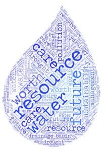
- Is the water in your glass worth more than the water in the river?
- How much is water worth?
Question Setting
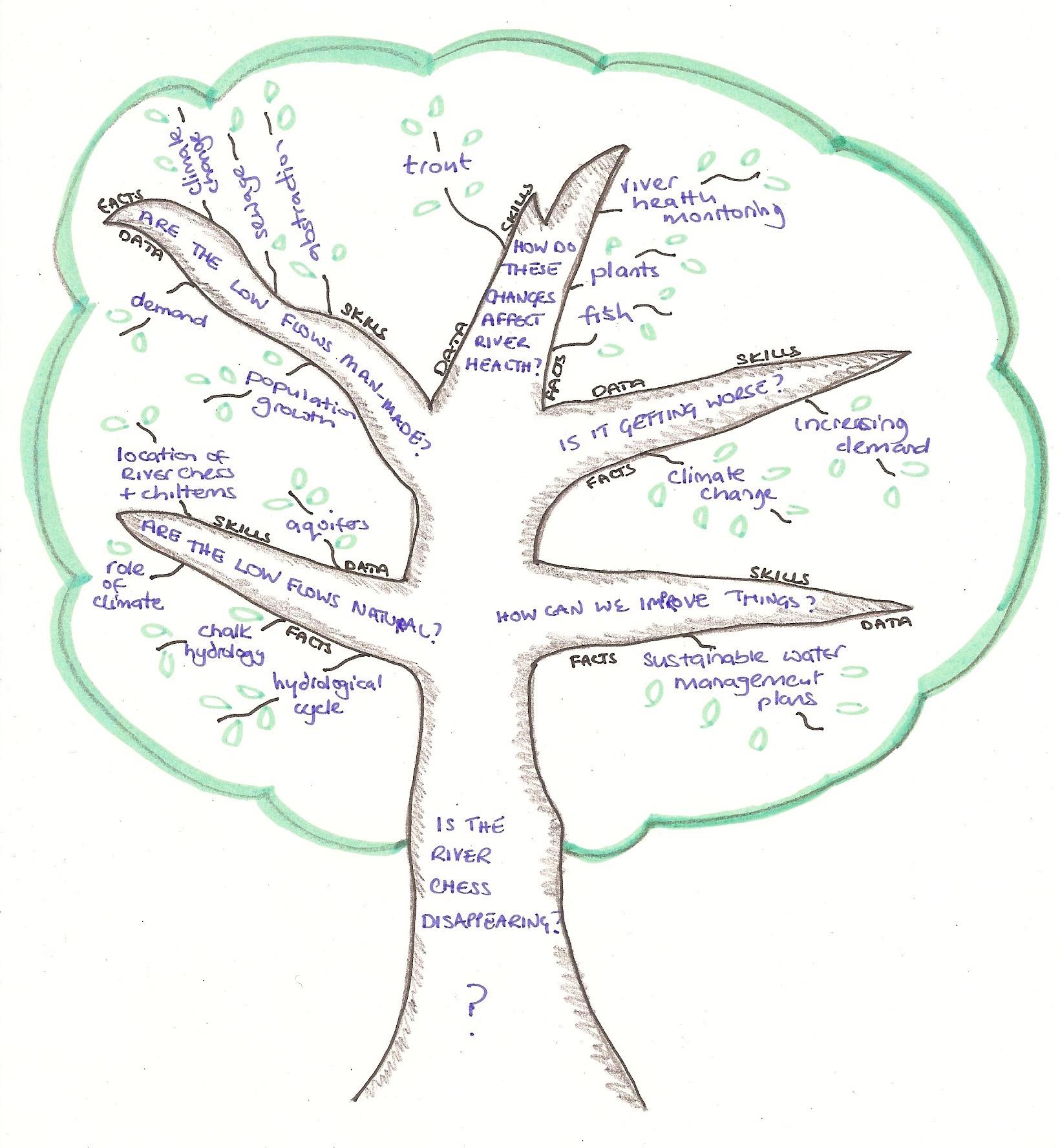
Work with your students to agree the question (like the trunk of a tree) and the key areas of investigation which will enable the class to get to grips with the enquiry question (like the branches of the tree).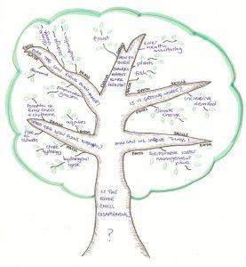
Reminding students to ask ‘who’, ‘what’, ‘where’, ‘how’ and ‘why’ is helpful.
Ensure that the enquiry question gives scope to scale the Blooms chart and involves elements of evaluation and judgement.
Pick the best three or four questions and use mind maps on large pieces of paper to further develop the question base and hence build the enquiry.
Lesson Themes and Module Plan
You might want to guide your students enquiry to cover certain themes or learning outcomes. We have produced a Teaching-The-River-Chess—-teacher’s-module–plan to help you decide which aspects of the River Chess you might want to focus on with your students. The plan is divided into five different themes:
- Hydrology in chalk catchments
- River Health
- Human interactions in the drainage basin
- Managing water demand
- Creating sustainable water futures
Resources
The accompanying presentation contains all the Slides referred to in the module plan. There are teachers notes at footer of each slide. Please note that many slides have essential clickable links so you will need internet access to show the presentation.
The presentation, along with other handouts referred to in the module plan can be downloaded from the website. There is also a document highlighting other useful sources of information for student research.
Downloads
 Blooms Chart
Question Setting
Module Plan
Slides
Handout 1: Water Use in the UK
Handout 2: Water Levels in the River Chess
Handout 3: Stakeholder Opinions
Useful links
The following podcast, produced by the Royal Geographical Society, supports this resource.
Questions, comments and further information
We hope you enjoy using this resource with your students. If you have any questions or comments please get in touch.